WE DROVE TO THE SOUTHERN-MOST POINT in the U S of A this morning. Despite what Old-timey Conchs and Parrot-heads would have you believe, it isn’t Duvall Street in Key West. Nope, South Point, Hawaii lies at 18.9136° North latitude while Key West at 24.5554° is 300 miles farther north.

Not here, you're too far north

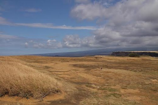
South Point Panorama
It’s a 60-mile drive from Kona along the winding Hawaii Belt Road. You can really enjoy the scenery since the speed limit for most of the trip is 35 mph. That said, there isn’t much to do once you get to South Point.

Wind and Clouds

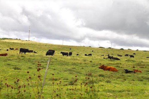
Hawaii's Dairyland
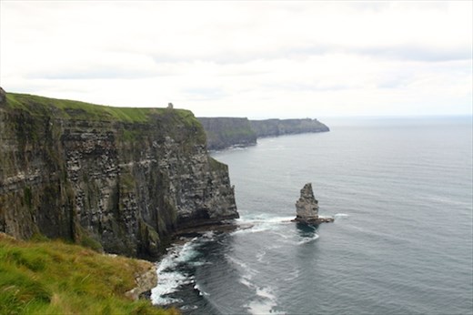
The wind-swept countryside is picturesquely silhouetted by dark clouds over Mauna Kea. The ocean is unbelievably blue and the waves crashing against the sea-cliffs are reminiscent of the Ireland’s Cliffs of Moher—but with nicer weather! There are even fields of cattle nearby grazing on the thick grass. Of course you can always take a leap off the cliff into the sea, braving the strong currents. If you are extremely lucky someone might just haul you back up. Eventually.

South Point Sea Cliffs

Cliffs of Moher, Ireland from 2014 visit
A little farther along is the parking lot for the “famous” Green Sand Beach. The “road” from the parking lot is considered iffy even for FWD vehicles—the other option is a 2½ mile walk each way. We can neither confirm nor deny the color of the sand—it just didn’t seem that important.

It just doesn't seem right
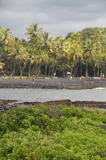
We did, however, continue on the Belt Road to the really famous Black Sand Beach. John mis-spent his youth on the sugar-sand beaches of the Jersey Shore—don’t knock it if you haven’t been there!—and couldn’t see the point of sitting on black sand any more than on the shingle beaches of Europe. À chacon son plage.