Existing Member?

Fly Ted Down Under Journeys through the land of Oz

Sydney Day 2: Hyde Park Barracks, ANZAC, Pylon, Olympic Park AND Luna Park

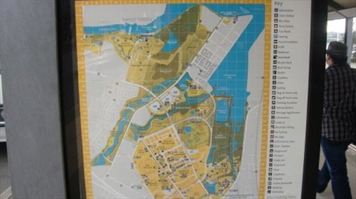
A map of the Sydney Olympic Park. It was a little deceptive on paper. The ferry dock is at the top-right edge, next to what is now an industrial zone. It was almost 3 km from the ferry to the stadium near the bottom, where the action is. Most people approach though from the bottom section, either by car, train or bus. Eventually there will be a large community of condos and apartments filling out the whole peninsula.

AUSTRALIA | Friday, 4 March 2011 | Views [724]

A map of the Sydney Olympic Park. It was a little deceptive on paper. The ferry dock is at the top-right edge, next to what is now an industrial zone. It was almost 3 km from the ferry to the stadium near the bottom, where the action is. Most people approach though from the bottom section, either by car, train or bus. Eventually there will be a large community of condos and apartments filling out the whole peninsula.