INDONESIA | Monday, 24 November 2014 | Views [972] | View Smaller Image
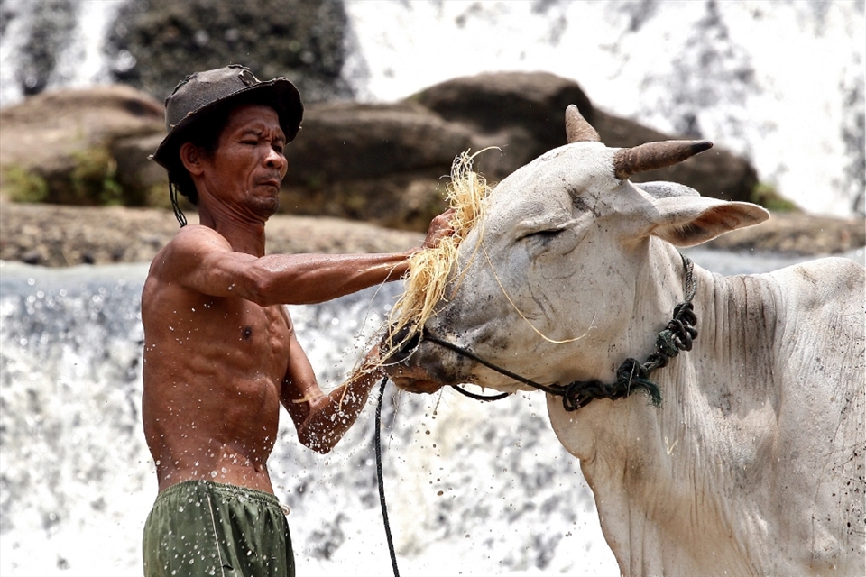
The topography of Gunungkidul consists of three main characters: alluvial land in the north part, fertile plateau in the middle, and karts hills full of limestone in the south part. This effects to the various drainage systems. In Beji village, Ngawen, as part of the north Gunungkidul, the villagers are lucky enough to have shallow aquifer in limited quantity. They maintain to use the river flow, Kali Jurug, for their daily need by employ a local wisdom management: the highest area of the river for cooking, the middle one for human other needs like bathing, and the lowest is for their cattle.
Tags: 2014 travel photography scholarships, drought, water, indonesia