Why Mexico's border towns are so dangerous.
Ciudad Juarez (Mexico) was recently named
the most dangerous city in the world. There’s a drug war raging that claimed
350 lives in October 2010. The bloodiest month in a bloody year – 2666
homicides, and when that figure was published it was only November 1.
While I was researching one of those
incidents, a shootout at a shopping mall, I looked at a Google map of Juarez. I
knew it was a border town, and you can call me naïve, but I didn’t realize just
how close it is to the US border. Americans will laugh at me, but for others
who are unfamiliar with the geography, Juarez is across the Rio Grande from the
Texas town of El Paso…. And it’s not a wide river.
So why is one side a perfectly respectable,
normal community, and the other side is a drug and crime riddled mess? The
answer of course is poverty, and here’s a simple way to illustrate that.
Map of 2 Worlds
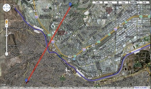
This is El Paso/Ciudad Juarez. The border
is marked in blue. I’ve picked two points, just about at random, on either side of the border.
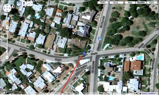
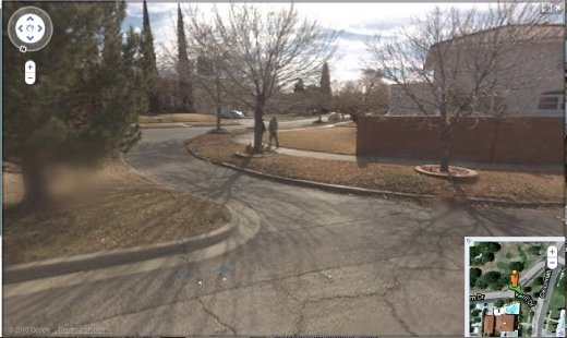
This is the US side of the border: neat
streets, comfortable houses with swimming pools and a lovely community park.
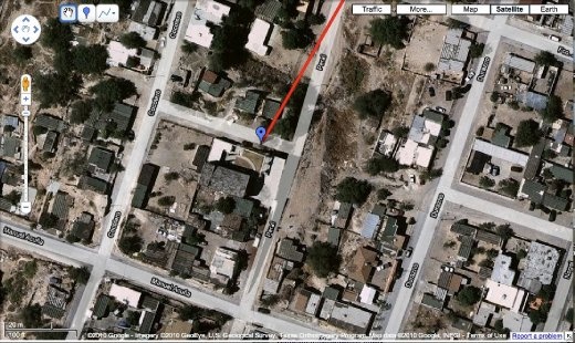
Across the border, it’s tin roofs, dry
river gullies and dumped auto bodies.
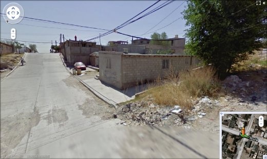
These two vastly different worlds are less
than 3 miles, and 2666 murders, apart. Poverty has a lot to answer
for.
That's my View of the World.